Welcome to the City of Norman's Mapping page. The GIS Services Division of the Planning and Community Development Department provides a variety mapping applications and data for use by all City of Norman departments and the public.
Mapping Resources
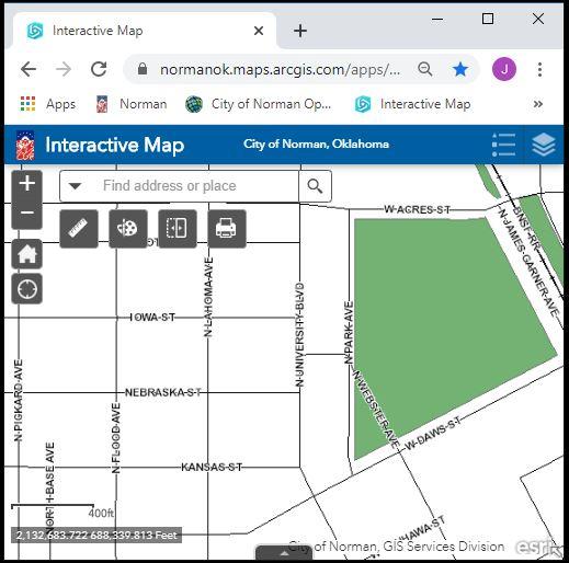
Interactive Map
The map provides display and identify access to many of the City's GIS layers. The data are to be used for general reference only. All data are provided as is, with all faults, and without warranty of any kind, expressed or implied, including but not limited to, the implied purpose. The City of Norman does not warrant that the data will meet your requirements nor that operation of the data and/or application will be uninterrupted and error free. Maps and data generated using these applications may be e-mailed or printed, with the understanding that they will be used for general reference only, without any claims of completeness or accuracy.